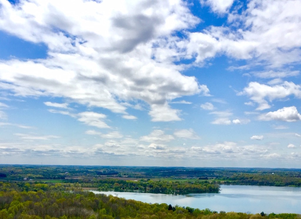
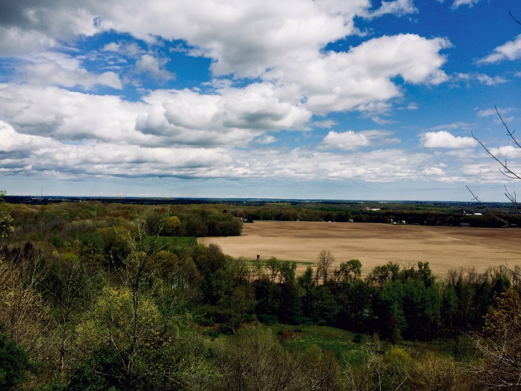
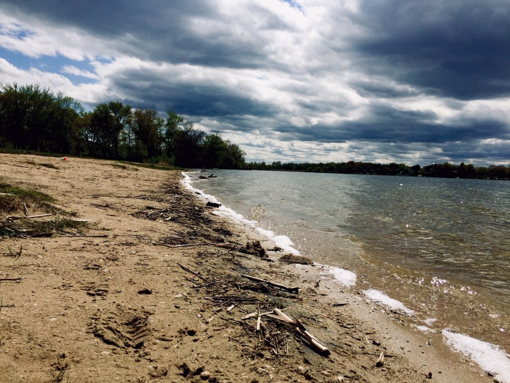
The view from the top of the tower on Powder Hill gives one the sense of what it feels to fly over the tree tops. The human eye can see great distances when there are no obstructions and from the Powder Hill tower you can see neighboring Holy Hill as well as land and distant waterways on all sides.
The trails at the Pike Lake Unit of Kettle Moraine do not begin at the tower, but I chose to begin my story from the top.

After a good hike up hill from the beach parking lot, I found myself at the base of the second tallest hill in southeastern Wisconsin. Wisconsin may be flat compared to mountainous regions, but we have an extensive supply of kettles and kames to afford some good and strenuous hiking.
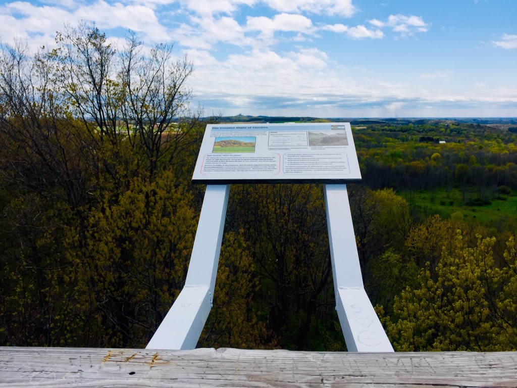
The tower is an example of a child’s dream treehouse. Those fearful of height may have an easier time than usual because the stairway is in the center of the tower, but anyone wanting to read the historical sign postings at the top may want binoculars. For some odd reason, the posted signs are far reaching off the edges of the railings. I do not have a fear of heights but I felt great anxiety having to lean over the railing just to read the information. It seemed to me they were open invitations for daredevils to climb out and take a selfie.

In my need to calm my neurosis, I sat down to lean on the stair wall. The grey clouds had begun to lift and dissipate and the sunshine came down warm on my face. I was one of the few hikers and so was undisturbed in the peaceful place above the treetops. It was so quiet at that height that even the drone of well used highway 60 was silenced. My spirit was gently pulled to a good place.
As I stood I spied a red hawk soaring in the distance. She circled through the currents coming closer and closer until she took a sharp dive down toward earth. No doubt in search of lunch, but in my heart I felt she was there to teach me something about life. We may have things that we have to do to survive, but we can enjoy the journey and soar around a bit before we have to land.
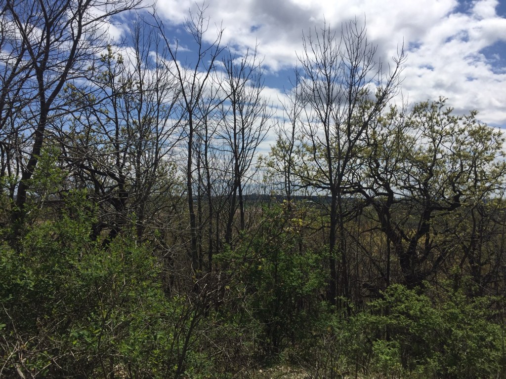
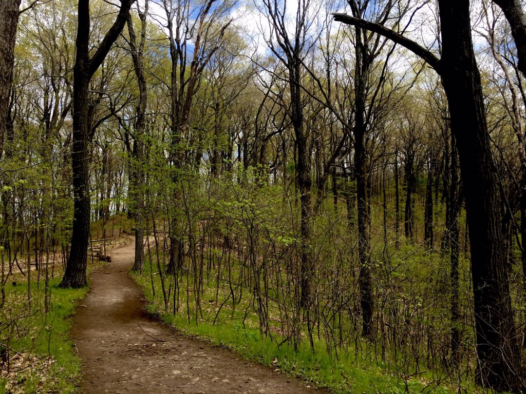
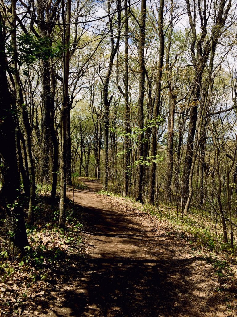
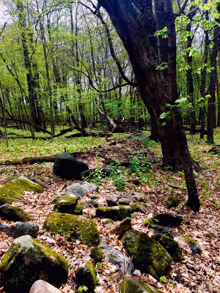
Back to earth I hiked a bit further in the woods. These woods are not as old as the land they grow from. European settlers descended on the area in the mid 1800’s and clear cut the forest. The tree’s you will now see are a little over 100 years old and the forest is markedly different from much of the other Kettle Moraine trails I’ve hiked. That being said, it is quite lovely and a good spirit building hike.


The well maintained trails circle through an array of glacial hills and valleys giving hikers a good workout while also showing off the local vegetation. Or take the Ice Age Trail and find your way into Slinger or go south to Holy Hill and back for a day long hike. It’s a little over 6 miles to Holy Hill where you can get some lunch in the church coffee shop and also take a meditative break. A shorter hike to Slinger is about 3 miles and there are some cafes and coffeeshops where you can find refreshment. Or bring your own backpack lunch and simply enjoy a whole day of solitude in nature!

The park also has some family friendly trails. The half mile red loop runs near the beach and there is also a handicapped accessible trail as well as a bike trail in the flatter sections. In the center north area is the Black Forest Nature Trail. I didn’t walk through but it looks like an educational spot for the kids and isn’t far from the campground and north parking lot.
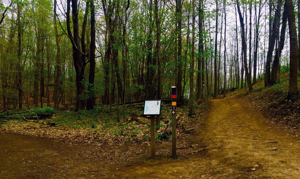
At a fork in the trail I came across a piece of old machinery. It looks like a farmers tool, but it seemed in an odd place for farming. How people got it up into the hills and where they were attempting to transport it, and why that trail, I could not imagine. But it made for a few interesting photo images and curious thoughts.

On your way in or out, take the uphill spur to the selfie stand to let the world know you were there. I don’t know exactly what the stand looks like as it was out for maintenance while I was there, but the view is lovely and for the of height challenged, a little closer to the ground than the tower. Plus, there is a bench to sit on and take in the joy of the local greenery.
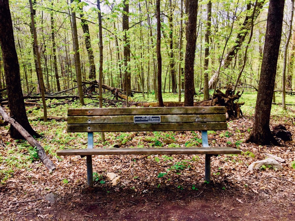
I found a good amount of benches and other fallen log or stone resting places throughout the trails. For my need of a shorter half day in the woods, this was perfect. I suggest going of a cold day, or in the morning, if you want solitude. During my visit I saw few people but as the sky cleared and the afternoon warmed, the population seemed to increase steadily. I’ve read that this is a popular spot for the locals and I believe it because of how great it is but also because it is near so many small but populated towns.
To get there from Milwaukee, take Hwy 41/45 northwest toward Menomonee Falls. At the fork veer N.W. on 41 toward Slinger and watch for county highway 60. Exit to go west on 60. The park entrance on Kettle Moraine Drive is just a short drive on the left, before you get to Hartford. Hwy 60 is a busy highway so keep to the left lane and watch for signs to the park.
There is an entrance fee unless you have your yearly sticker. There is a forest office to the left on Kettle Moraine drive just off of C-Hwy 60 where you can pay for the day or purchase a sticker if the office is open. Otherwise you can purchase your sticker on line, print off your receipt for use that day, or use an onsite pay envelope. You may drive through the parts of the park, but they do check vehicles in the parking lots so better safe than broke. Plus, it’s much more enjoyable and relaxing to hike knowing you won’t end up with a ticket.

The forest is open from 6:00 am until 11:00 pm, year round. I’m not yet sure about skiing or snowshoeing, but I can’t imagine trying to cross country ski through these trails. Down hill may be fun but a skier has a lot of trail to skate up first!

After my hike I took a drive into Hartford. It is worth it’s own day trip. I didn’t see much because I was in search of a never found coffee shop. There are 3 or more listed on google but I don’t know the towns streets and the popular hwy 60 runs directly through the downtown so I spent most of my few minutes there avoiding other vehicles. I suggest finding a parking spot and taking a walk. Hartford is filled with old architectural interest and it seems that there are a lot of shops and places to eat.
If you want to take a roundabout trip, drive south from Hartford on highway 83 through the Land of Lakes to Hwy 16 where you can then connect to I94 and back to Milwaukee. If you are driving from Madison to visit Pike Lake, take C-hwy C (Lakeland drive) north to highway K, then east to 83 and north to highway 60 and through Hartford east to the park entrance.
Bring water, the rising elevation will keep you warm and don’t forget your hiking shoes!
Happy trails!
Jenny
